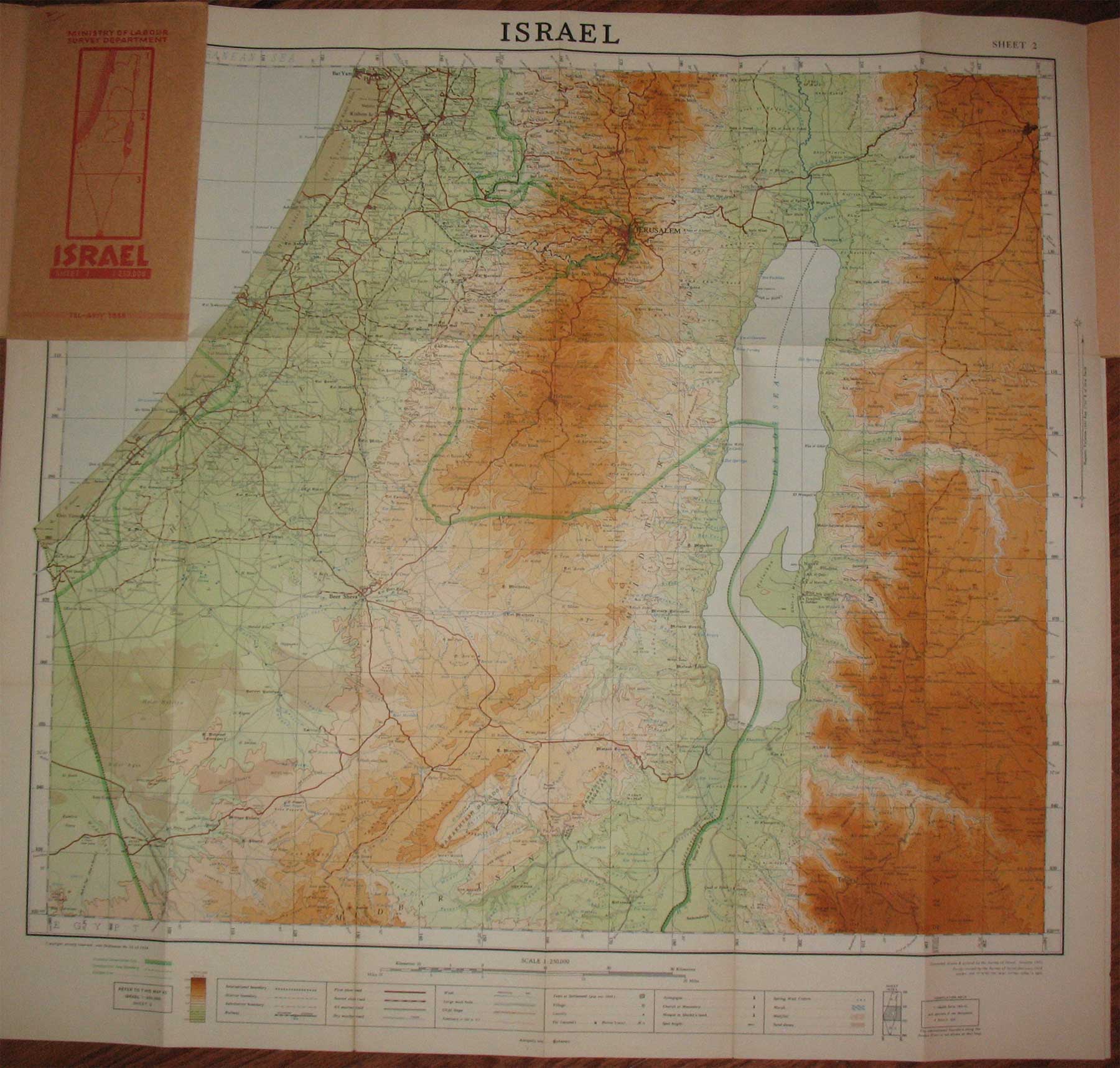
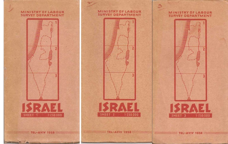
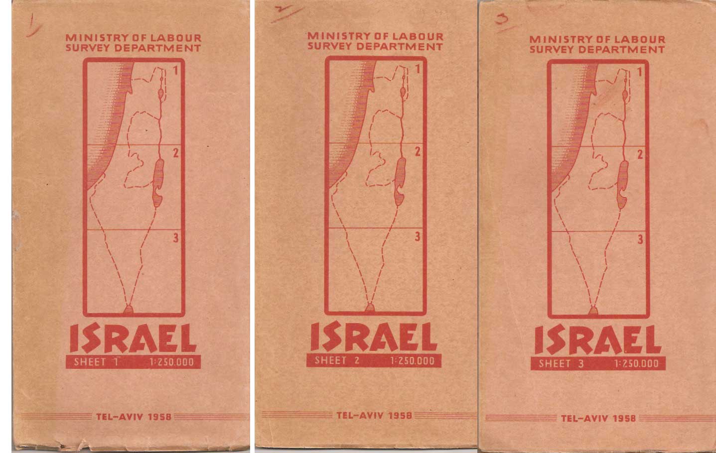
Ministry of Labour Survey Department MAP OF ISRAEL.
Tel-Aviv: Survey of Israel, 1958. Revised edition. Paperback. 3 sheets printed in colors, each 26.75 x 28.25 inches folded into 9 x 5 inch booklets. Map ratios 1: 250000, showing boundaries, topography and roads. Some wear to booklet covers, 2 maps with short tears to margins at folds, overall very good. Item #23479
Originally published in 1951, this partly revised in 1958.
Price: $45.00
See all items in
Maps and Prints
See all items by Map of Israel